Point Cloud Upload
Make sure you know your data before uploading it. Point cloud upload has no preview of the data location before upload. Thus you need to be sure about the EPSG code before uploading. Data must be in a projected coordinate system (e.g. WGS84 is NOT fine).
Point clouds should be no more than approximately 10x10km in area. If you have larger point clouds (for example long roads or railway lines) please cut and crop them to smaller pieces before upload.
One of the most common global EPSG codes is 3857, Web Mercator that is a worldwide projected coordinate system. This is also the only suitable EPSG for Infrakit integration.
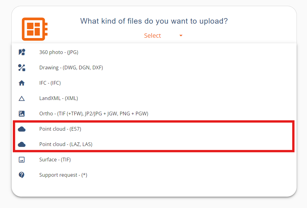
Pointscene supports point cloud formats LAZ, LAS, E57.
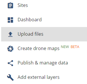
How to upload point cloud
- Select Options and Upload files.
- Select one of the two point cloud download options based on your file type (LAZ/LAS or E57). Both file upload interfaces work in the same way.
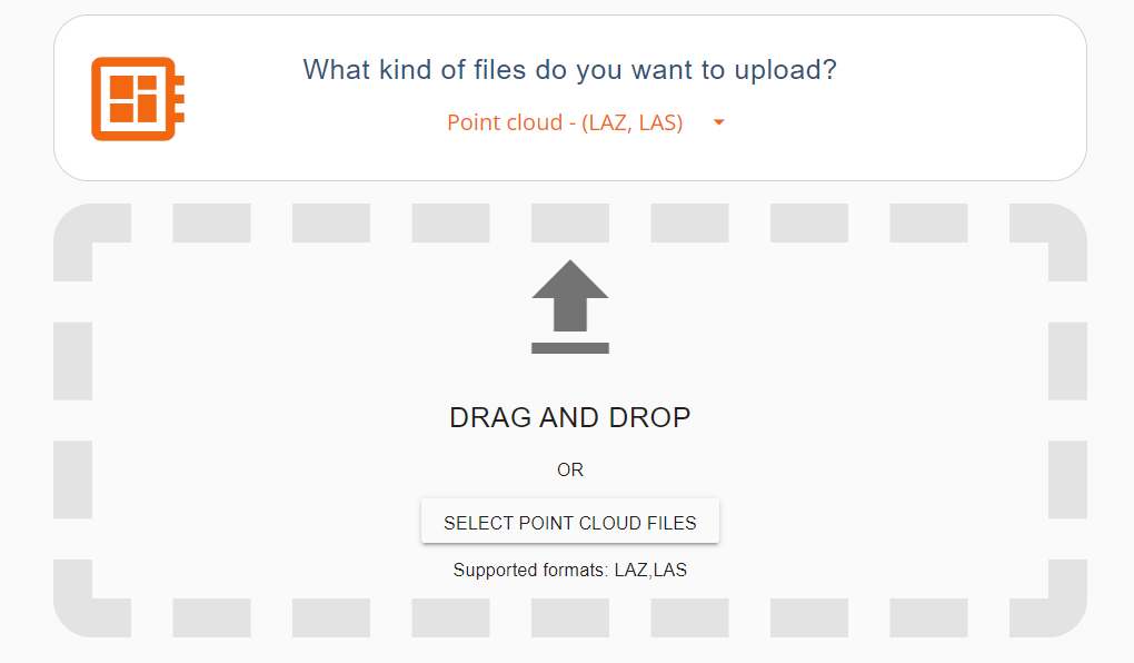
- Drag and drop your point cloud files. (one or multiple in the same area, will be merged together)
- Enter capture date, name of the point cloud and EPSG code
- Optional: Click “Duplicate uploaded data in another coordinate system” for conversion. Please note that conversion only works for las and laz files, but NOT with e57
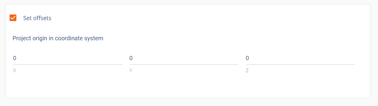
- Optional: Click Set Offsets if your data uses a local shift, set project origin into the coordinate system.
- Then, click Upload
- Keep the browser tab open until the upload is complete.
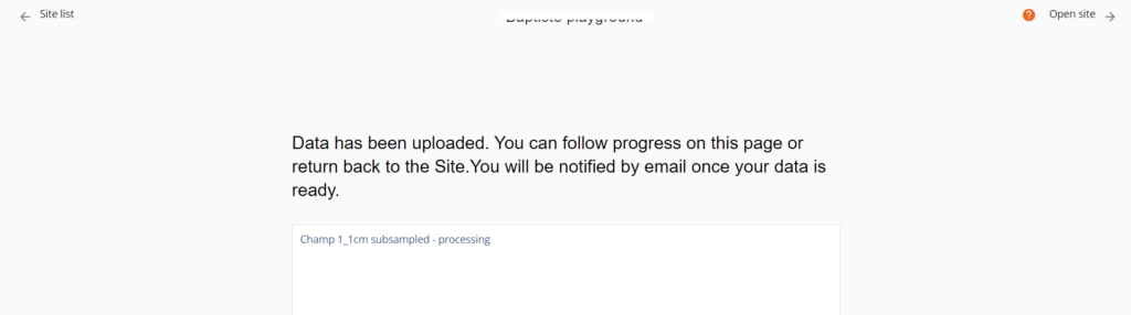
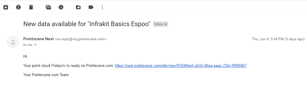
You will get an email once the processing is finished or an error has occurred. Support will contact you if failure happens.