
360 Panorama Photos Upload
Pointscene supports georeferenced 360 photos with a picture ratio of 2:1.
360 panorama photos can be taken for example with Trimble MX7 or 360 cameras (e.g. Ricoh Theta) that collect location and optionally calibration information (x,y,z and roll, pitch, heading).
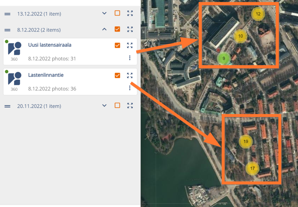
Pictures are shown on the map as singular dots or grouped numbers according to their group name and location.
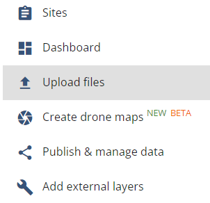
Upload Photos:
- Go Options then Upload files and select 360 photos.
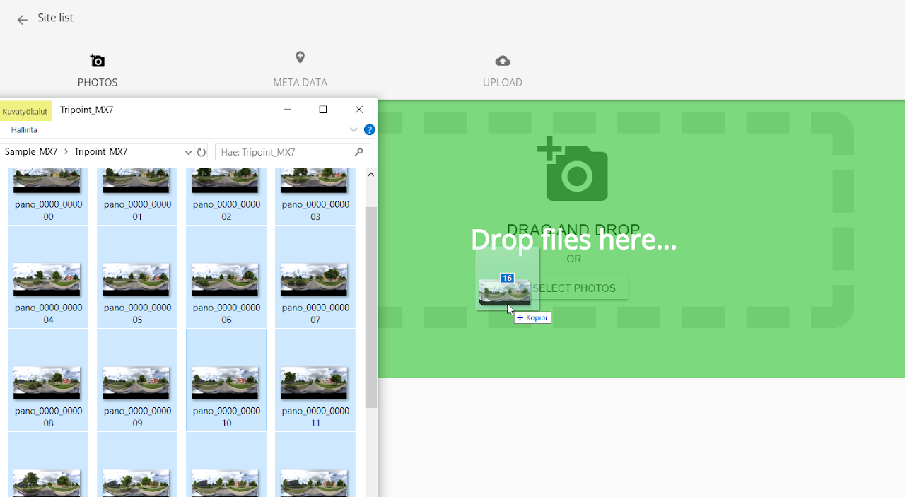
- Click on Select photos (or Drag and drop)
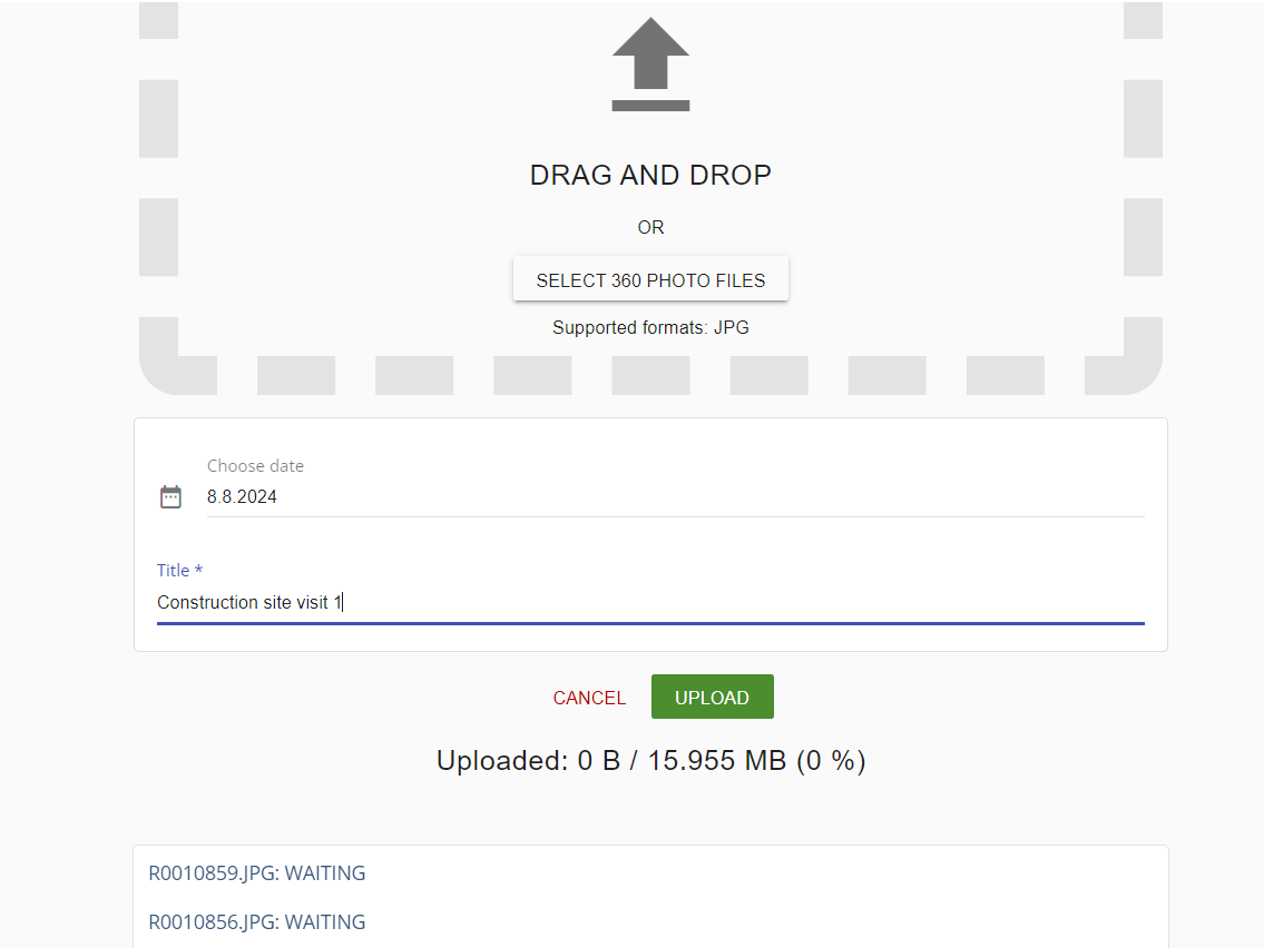
- Provide a date and name for the photo collection. All photos upload at once will be grouped together.
- If you don’t have photo orientation information as a separate file (CSV), click UPLOAD and skip steps 5-9.
- OPTIONAL: Send a support request or go to Upload photo -page instead
- OPTIONAL: Add you data there and check box for metadata click NEXT
- OPTIONAL: Add CSV file for metadata
- OPTIONAL: Link CSV column names to the required sections (click to see the image larger!)
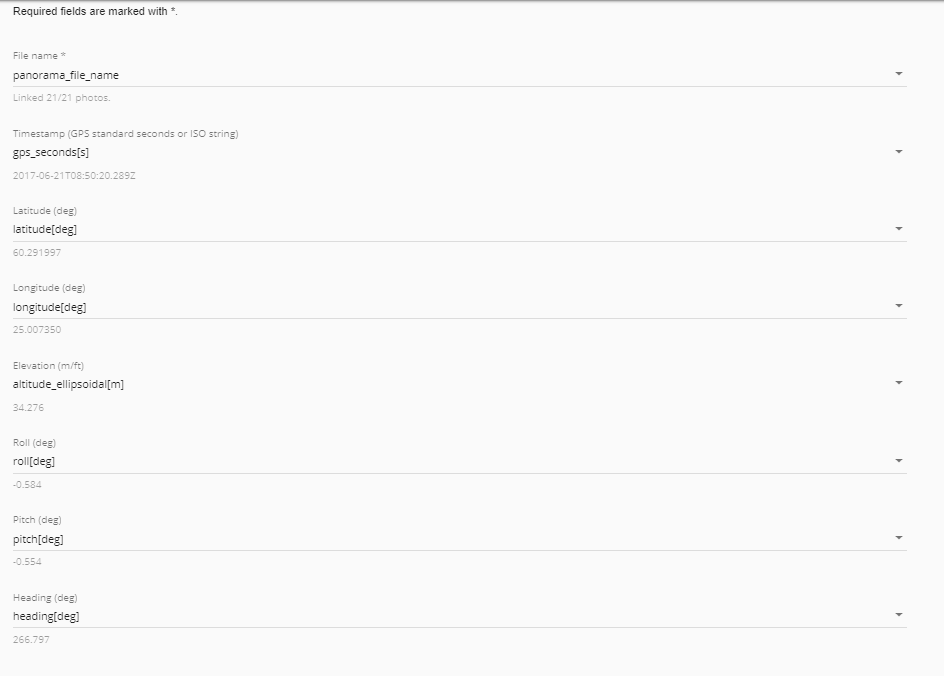
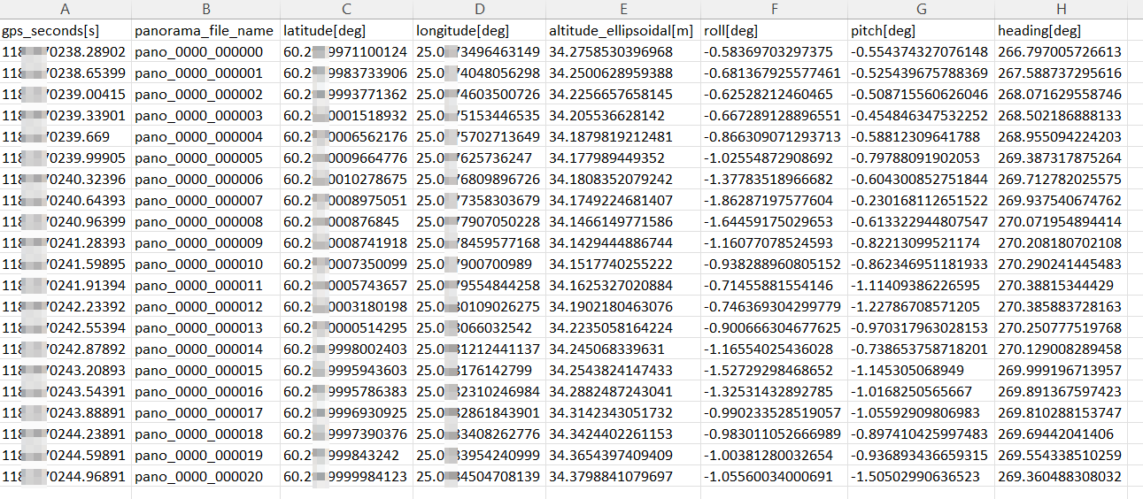
- This is how the CSV file looks like. You can create your own file, if your photos don’t have geotags. Roll, pitch and heading are optional.
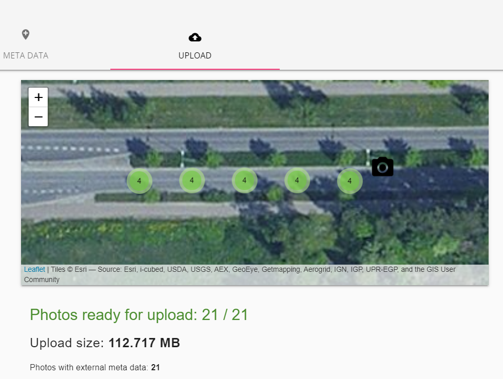
- Make sure photos are found in the right place in the map preview and click UPLOAD.
 Open Site and explore the panorama view.