Using Data Layers in the Site
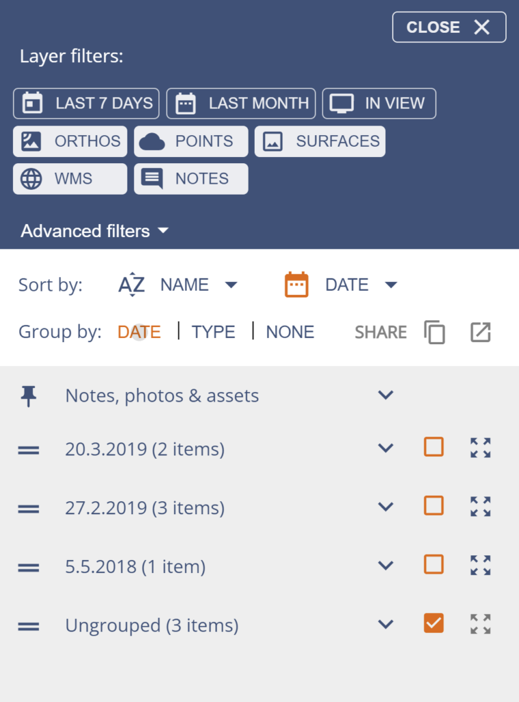
Pointscene groups data by either Date or Type. For the Date selection you can open the Advanced filters and set any date range that you prefer to rule in or out different data sets.
Date view
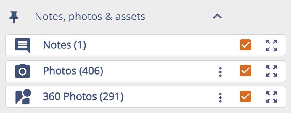
In Date view all of the files are sorted by their user given dates. Ungrouped folder includes any raster dataset, e.g. a DWG file that is converted to GeoTIFF. Added WMS layers are also in this folder. Notes, photos & assets includes notes, photos, 360 images and assets such as traffic signs.
Type view
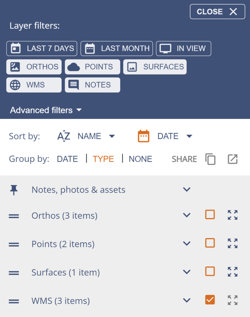
In Type view the data is sorted by the type of data in to folders. Folders are based on your data, so you will only see folders of data types in your site. Some data types are view only and can not be shared.
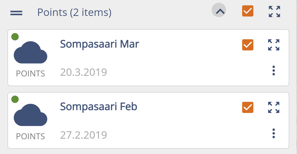
Points layers can be added to the site by Owners and Editors using Upload Files page then one of the two Point cloud option.
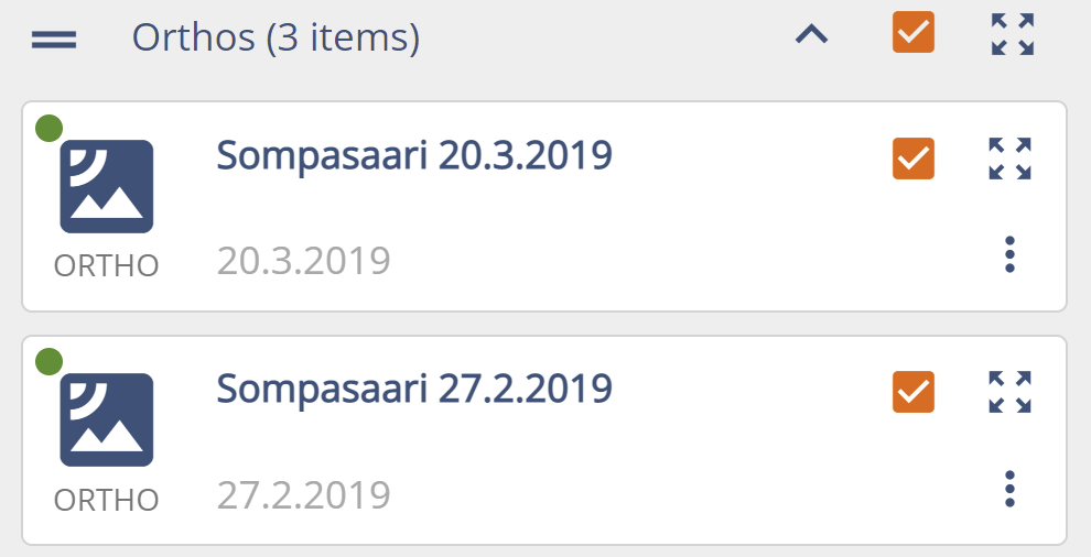
Orthos can be added by an Editor or Owner using Upload Files page then Ortho.
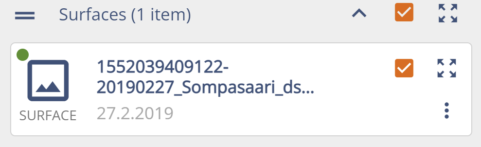
Surfaces can be added by an Editor or Owner using Upload Files page then Surfaces.
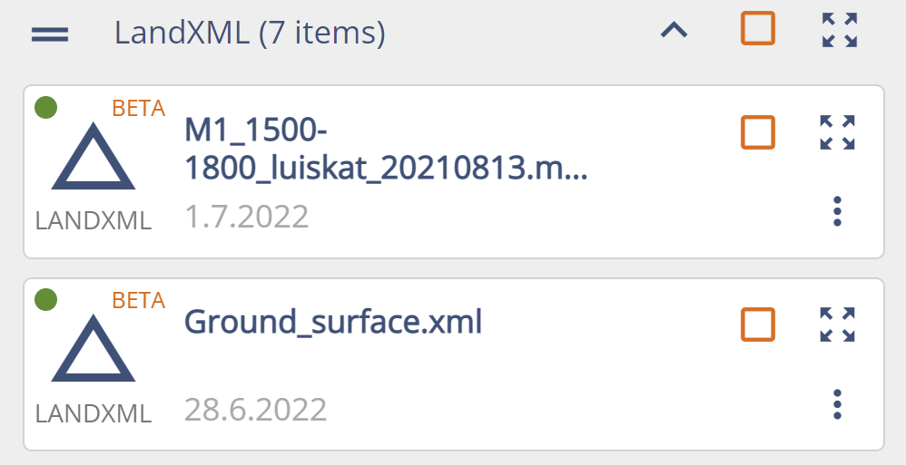
LandXML layers are used only for volume calculations and are not visualized in 2D view. Site Owners and Editors can upload LandXML surfaces using Upload Files page then Land XML.
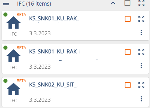
IFC can be added by an Editor or Owner using Upload Files page then IFC.
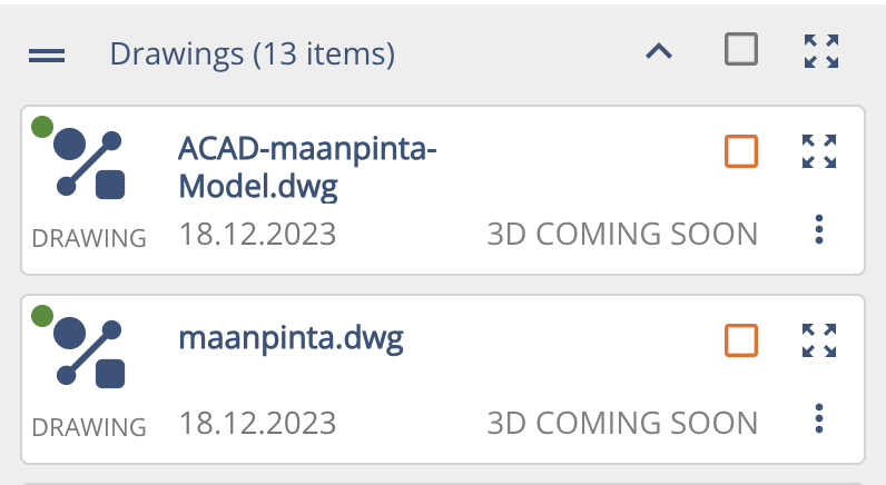
Drawings can be created from DWG, DFX and DGN files. These can be uploaded by using Upload Files page then Drawing. They can be also shared as WMS.
360 are groups of panoramic images. These can be uploaded by using Upload Files page then 360 photo. One upload is one group of photos. The user can decide the name and date for the group.

Notes, photos & assets includes notes & photos,and assets such as traffic signs. These layers can be turned on/off for all of the data type at once, instead of singular files.