
SITE SURVEYORS
Share and manage your survey data
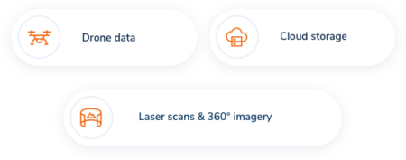
Share your drone and laser scanning data to every stakeholder in your project in an easy-to-use browser based environment. Use the latest ortho photos as a background map on your surveying software.
Keep your data easily available and organised
Have full control of your worksite data with Pointscene. Easy data sharing and management allows for more efficient collaboration and utilization of your data – no need to send and download files! Share you ortho photos and point clouds and calculate volumes from drone and xml surfaces.
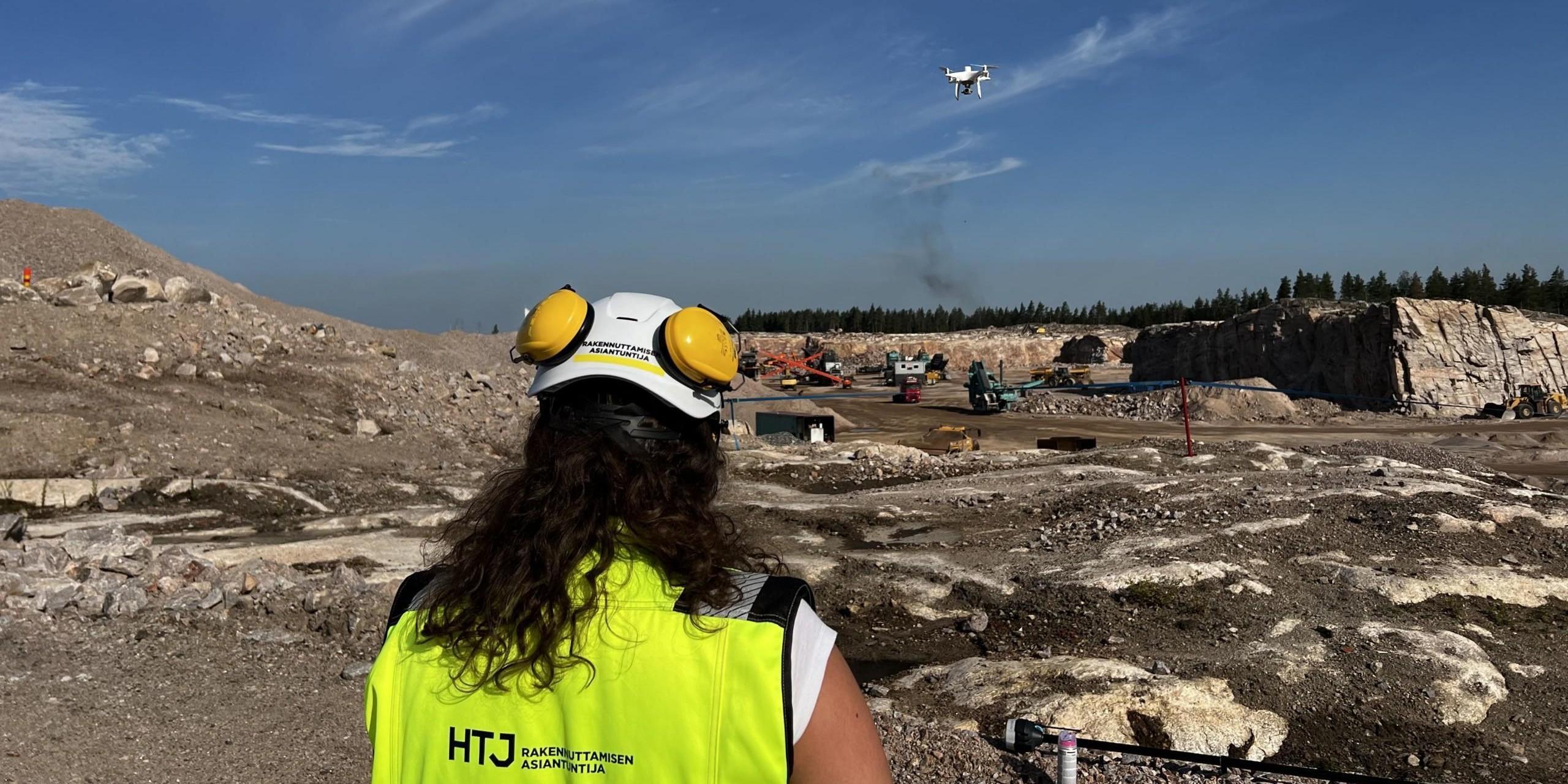
Take your worksite with you wherever you go
The Pointscene online platform is always accessible with any device. Stay on track of site progress with drone maps and laser scanning data – whether it’s on desktop, tablet or mobile – without having to visit the field as often. This means time and money saved.
Work with tools you already master
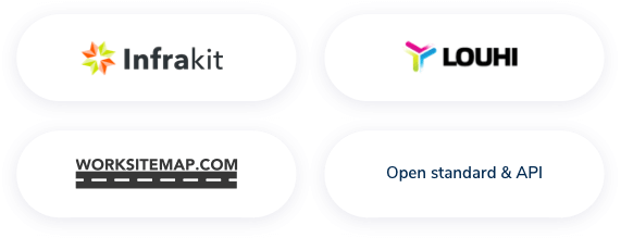
With WMS integrations for Infrakit, 3D-win, Powel Gemini, ArcGIS and various CAD software, you can use your up-to-date drone data with your favourite software without adding another phase to the workflow. Pointscene is your solution between the collected data on the field and your end users.
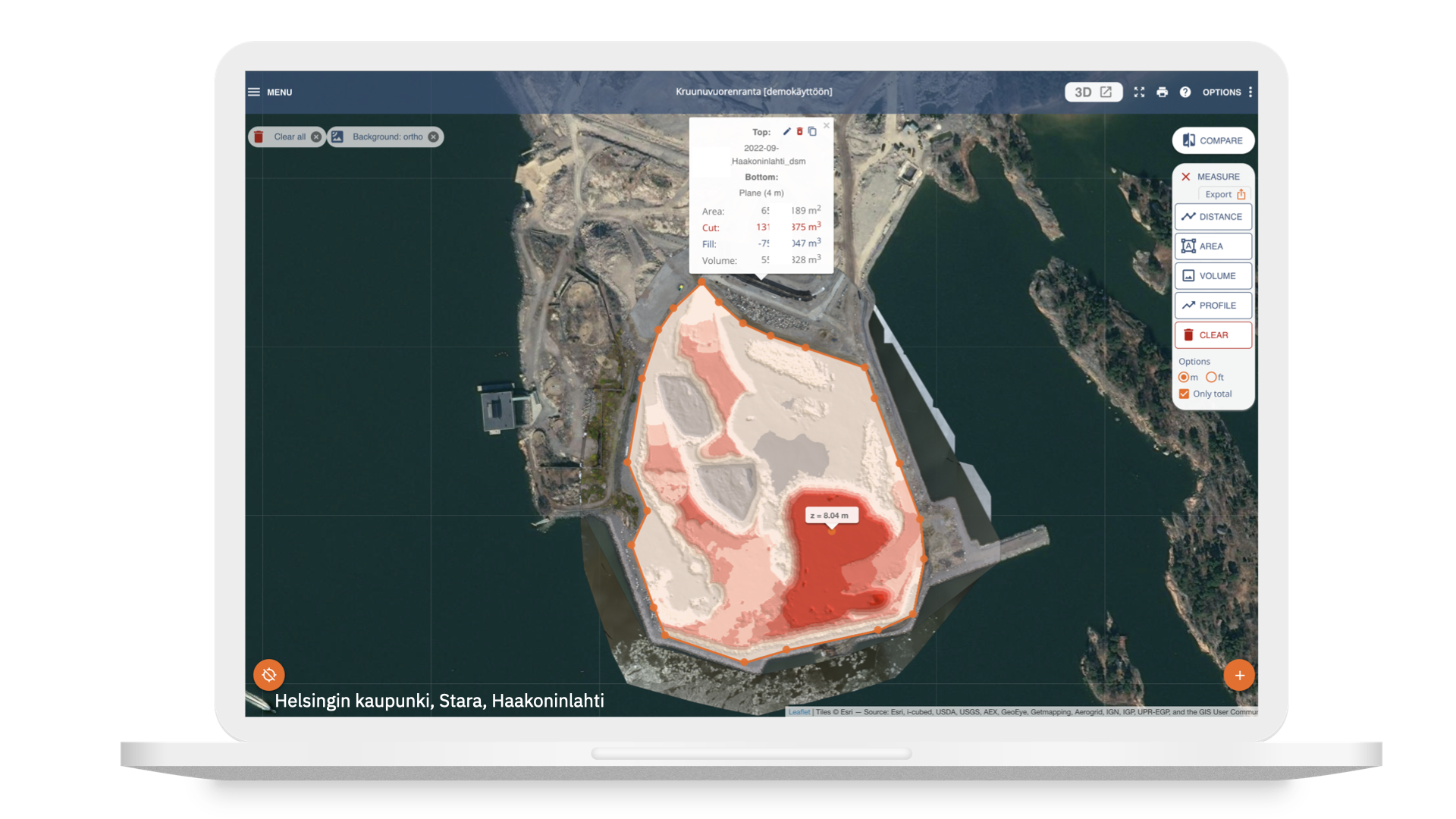
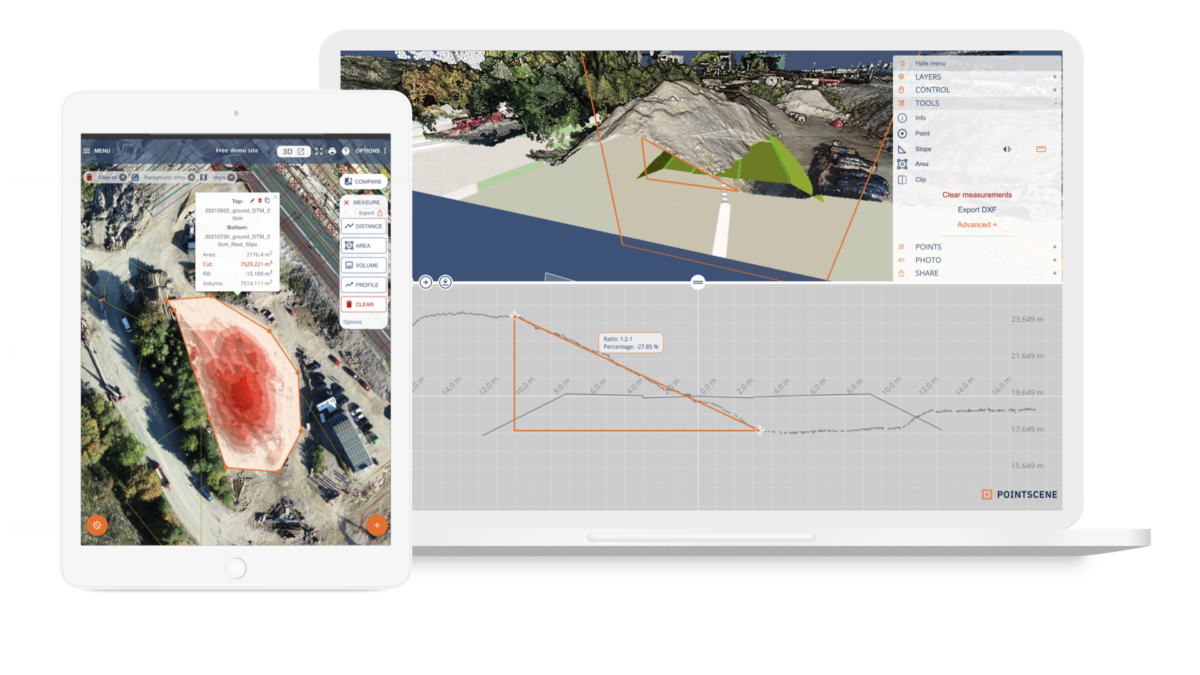
Easy measuring tools
Calculate volumes, areas and distances and check coordinates and heights from the point clouds. Compare current site conditions to designs and design surfaces.
With all of the data on your mobile phone you can do quick checks even without total station or GNSS receiver.
Easily communicate with all stakeholders
Collaborate with and communicate to designers, site managers and all other stakeholders. Define the appropriate level of access between reader, editor and owner, and grant the access to those you wish. You’ll never again be in the situation where one team member has all the keys to your data.
Stay on track with intelligent data
Start utilizing your surveying data most efficiently, saving you time and money.