
LandXML Upload
Pointscene supports LandXML design surfaces (surfaces only, alignments and profiles are NOT supported at the moment) for volume calculations and 3D observing with point clouds. Before you upload your files, make sure that you know their correct coordinate system since you need to input the EPSG code during the upload. We recommend that the file size should not exceed 50MB so that the files work even when using slower internet connection. Supported versions are LandXML-1.0, LandXML-1.1 and LandXML-1.2.
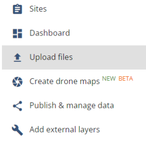
Uploading LandXML surface to your site
- Select Options and then Upload Files
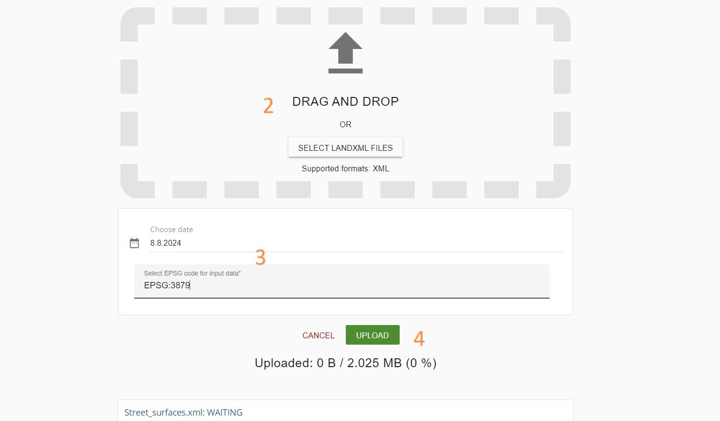
- Drag and drop or Select files you want to upload
- Choose a date and EPSG-code for the file
- Press Upload
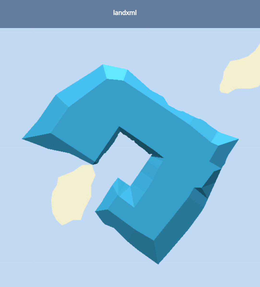
5. Once the surface is processed in to Pointscene, you will receive and e-mail about the file being ready to use
Please note that this feature has some limitations:
- LandXML files always shows on top of everything when opening a site
- LandXML won’t be shown in Compare tool
- Support for surfaces ONLY, alignments and profiles are NOT supported
- Set date cannot be changed after the upload
- We recommend that the file size should not exceed 50MB
- Our 3D viewer supports up to 10 layers (LandXML + point clouds) to be viewed at the same time