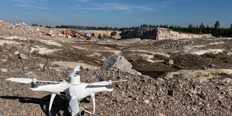
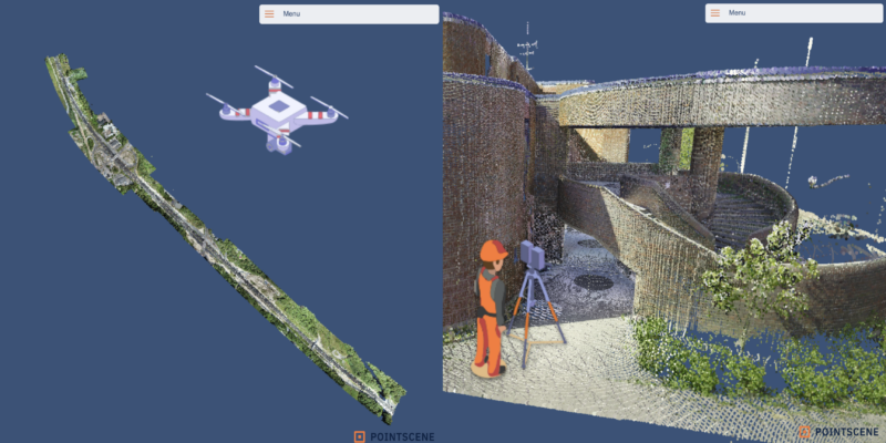
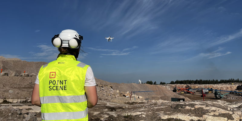
Knowledge base 28.04.2025 Using Reality Data in Open-Pit Mining and Quarry Operations (Est. read time: 5 min) The original article and similar content can.. Read article
Knowledge base 27.03.2025 Why Shared Drone Data Matters in Infrastructure construction Projects (Est. read time: 6 min) The original article and similar content can.. Read article
Knowledge base 21.02.2025 Effortless Reality Capture Data Management for Infrastructure Construction The construction industry is embracing digital transformation, with reality capture technology playing.. Read article
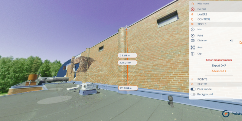
Knowledge base 24.01.2025 Enhancing Infrastructure Construction and Urban Planning with 360° Images In the world of construction, infrastructure development, and urban planning, having a.. Read article
Knowledge base 18.12.2024 Using Thermal Cameras in Drones: A Comprehensive Guide Introduction Drones equipped with thermal cameras have become a valuable tool in.. Read article
Knowledge base 28.11.2024 Unlocking the Full Potential of Point Clouds: The Importance of Classification of Your Data As industries like construction, urban planning, and environmental monitoring continue to adopt.. Read article
Knowledge base 18.10.2024 Revolutionizing Point Cloud Data Collection: Handheld iPhone Scanners with Enhanced GPS As the demand for geospatial data grows, industries are looking for faster,.. Read article
Knowledge base 13.09.2024 Streamline drone data processing for Infrastructure Projects We want to help you work smarter and save time when creating.. Read article
Knowledge base 16.08.2024 Maximizing ROI (Return On Investment) from Drones in Infrastructure Construction Key Investment Factors Investing in drones for infrastructure projects is a strategic.. Read article
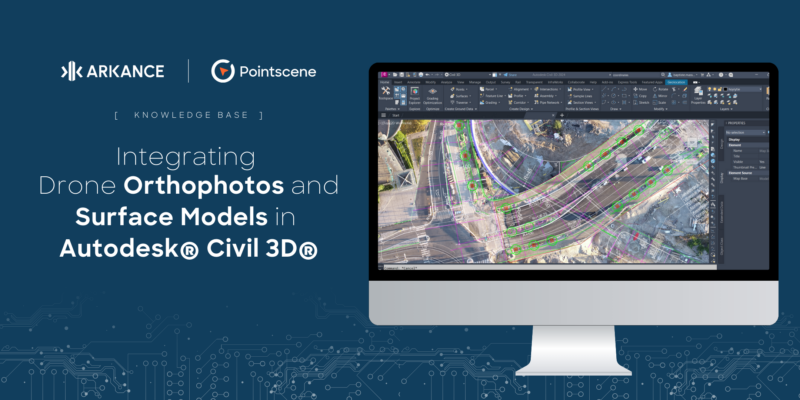
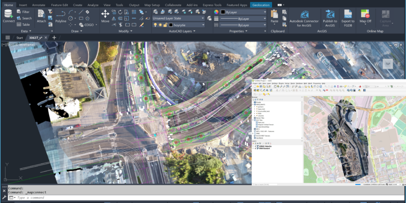
Knowledge base 20.05.2024 Integrating Drone Orthophotos and Surface Models in Autodesk® Civil 3D®: Benefits and Use Cases Introduction Autodesk® Civil 3D® is a comprehensive design and documentation software used.. Read article
Knowledge base 18.04.2024 Comparative Analysis of Orthophoto Accuracy: Pointscene Drone Maps Introduction Orthophotos, or orthoimages, are georeferenced aerial photographs, corrected for distortions to.. Read article
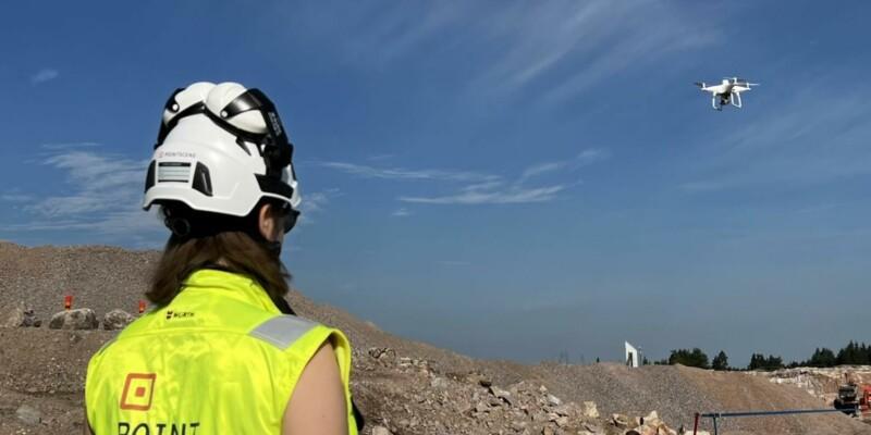
Knowledge base 22.03.2024 Construction Site Mapping with Drones: RTK vs. Traditional Methods Check out our latest video about the subject: Introduction Drones with and.. Read article
Knowledge base 16.10.2023 Drones vs. Laser Scanners: Tools to produce point clouds for your project (Est. read time: 4-5min) In the world of surveying and mapping, technology.. Read article
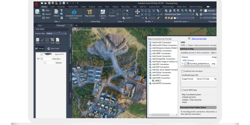
Knowledge base 12.09.2023 Understanding Web Map Services (WMS): A Guide for Construction Workers and Managers (Est. read time: 3 min) In today’s fast-paced world, efficiency and accuracy.. Read article
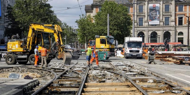
Knowledge base 14.09.2022 Using reality data on rail projects (Est. read time: 4-5 min) Adding new tracks to an existing railway.. Read article
Knowledge base 14.09.2022 Using reality data on rock tunneling and site boring projects (Est. read time: 4 min) Road, railway, and subway projects that require.. Read article
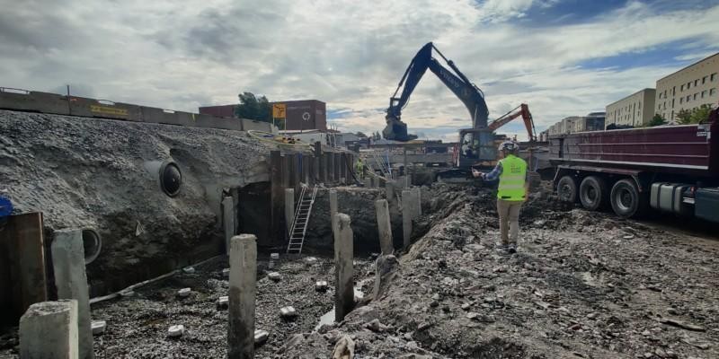
Knowledge base 13.09.2022 Using reality data on dense urban projects (Est. read time: 4 min) Dense urban construction projects — working in.. Read article
Knowledge base 12.09.2022 Using reality data on industrial construction projects Image: Unsplash(Est. read time: 4 min) The first stages of industrial construction.. Read article
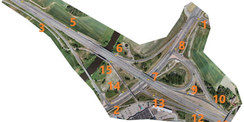
Knowledge base 30.08.2022 Using reality data on rural highway projects (Est. read time: 6 min) Rural highway projects are a tremendous challenge.. Read article