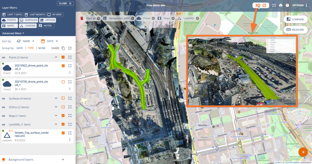
Pointscene’s 3D viewer keeps on improving! We have improved our E57 point cloud + 360 photo support. And now viewers (so all users) can access 3D views with point clouds, IFC models, and LandXML surfaces shown together. This is easy to do with our new big 3D button in the top row:

Get access to our free demo site to test the new button in action:
What we heard
You don’t only have drone data, some of you use also stationary laser scanners to collect 360 images at the same time.
We also heard that all users want to see all data in 2D and 3D regardless their user role (owner, editor, viewer).
What we did
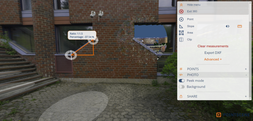
We now support E57 point clouds with images. We updated our support for 360 images so that all of them open in the 3D viewer too (legacy and new ones).
We added a big 3D button for in-app users to open the 3D view with up to 10 layers. The link is valid for 2 hours.
How it works
E57 improvements
You can now upload E57 files with our “upload files” page. Our goal is to upload all file types on the same page. If your E57 file includes photos, we process them into 360 images. If your E57 files don’t include photos, we generate them from the point cloud.
Users can measure directly from the 360 images and “peek” behind the photo to see that the point cloud and photo are aligned.

3D viewer
So now we have 2 ways to access Pointscene 3D view:
- The big 3D button: In-app use, links are valid for 2h
- The old share button: For sharing to users outside Pointscene, links are valid for 1 week (7 days).
Select the layers you want to view in 3D and then choose do you want to have a link that is valid for 2h or 1 week. (Viewers only see the 3D button.)

Get access to our free demo site to test the new button in action:
If you have any questions, you are always free to contact us at support@pointscene.com.
