
ABOUT
Pointscene Instructions
Screenshots and step-by-step instructions:
For the big picture, scroll down!
Our mission is to make data management simple, so that you can react to changing situations with confidence.
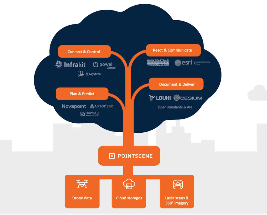
We help construction companies digitalize
Pointscene is easy to use:
- Upload data
- Now you can see your date with any device in Pointscene
- Share date with web service links
- Now almost all map software can see your data!
- Share access to others via email
- Now others can see and download original data!
Three simple steps
Upload data
Upload point clouds, ortho photos, surface models and 360 images.
So upload any reality capture data from Pix4D, Propeller, Agisoft, ArcGIS,… you name it, we can handle it!
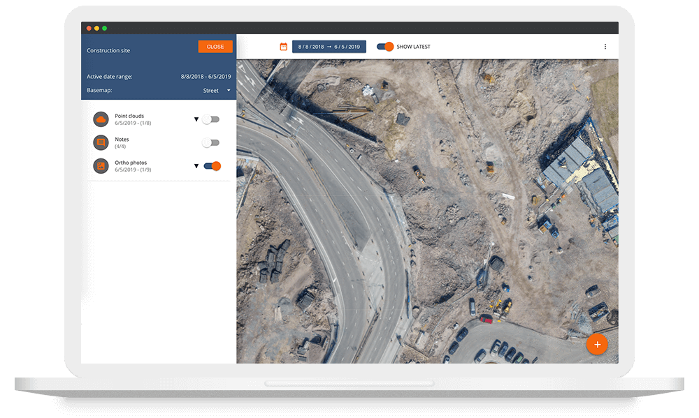
Manage and see your data anywhere!
Stay aware of your worksite by simple viewing you data with Pointscene. You can also do simple measurements and notes on the map.
Share your data
Use web service links like WMS & WMTS to share your ortho photos to other software.
We have point cloud web services, but there is no standard for it yet, so all integrations will require some development for now.
–

Viewer
you are most likely a …
strategic owner, administrative role, property developer, …
Your role in the site is to:
- find information
- observe progress over time
- view site during weekly or monthly meetings
User Roles Explained

Editor
you are most likely a …
subcontractor, designer, supervisor, surveyor, analyst, …
Your role in the site is to:
- provide content (drone data, laser scans,…)
- make notes, read and write comments
- observe the site on a weekly base
–

Owner
you are most likely a …
site engineer, head surveyor, project manager, contractor, …
Your role in the site is to:
- be responsible of necessary info and data is provided
- give access to data
- distribute rights and roles