
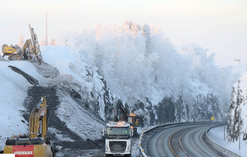
Norwegian construction and civil engineering company Veidekke built a new section of the E6 Norway, the main North-South route throughout Norway and the West Coast of Sweden.
The motorway project finished ahead of time and under budget according to Byggeindustrien (27.10.2020).
We have reduced the construction cost by 15-20 percent and Veidekke has ensured that the opening takes place approximately eight months earlier than originally planned. We are very happy with that, says Development Director Øyvind Moshagen at Nye Veier. Source: Byggeindustrien 27.10.2020
Overall, the E6 Arnkvern-Moelv project is a successful example of how digital tools can be used to improve project outcomes. The project demonstrates the importance of collaboration and real-time monitoring in achieving efficiency and cost savings.
Project Stats
- Size/length: 24 km
- Budget: 230 M€ (completed 15-20 % under budget)
- Duration: 10/2017 – 10/2021 (completed 8 months before scheduled)
- 39 structures and 300 meters of new T12.5 tunnel
- 1,550,000 m³ of soil and loose material were moved
- 77,8 % Sustainability certificate score, highest score in Norway when received (source: Veidekke 3.6.2022)
- Calculated a reduction in greenhouse gas emissions of a whopping 41 % during the construction period and 75 % during the maintenance period
Goal
The project aimed to improve traffic flow and safety by widening the road, building new bridges, and improving interchanges.
The project was the first in Norway where Nye Veier mandated the use of BIM (Building Information Modeling) level 3 models. This inclusion of elements like Health and Safety (HMS) and Facility Management (FDV) into the digital models was crucial.
The project needed up-to-date information about the current status using drones and laser scanners.
Solution
Pointscene was used to share high-resolution drone orthophotos and point clouds for all stakeholders. Project workers used different software for different tasks like Infrakit and Gemini Terrain. Pointscene enabled access to drone base maps (WMS) that were easy and fast to use. Learn more about Pointscene’s automated ortho compilation links in our instructions.
This way the up-to-date reality status was combined with the BIM world. Veidekke was able to plan their work better and avoid mistakes.
BIM was new to many of our skilled workers, but I think most now agree that it is a useful tool that streamlines data flow. For my part, the most fun has been seeing experienced construction workers use the BIM on the site. When they find out that they can independently go in and extract data that they would normally spend a lot of time obtaining from others, a light bulb goes on for many, Project Manager Bendik Røssevold in Veidekke says.
In addition to high BIM standards and finishing ahead of schedule the project was also more sustainable:
In the planning phase, greenhouse gas optimization measures were found which produced a calculated reduction in greenhouse gas emissions of a whopping 41% during the construction period and 75% during the maintenance period, Neal Alexander Nordahl, project manager
Sources:
https://www.veidekke.no/prosjekter/e6-arnkvern-moelv/
https://www.bygg.no/e-6-arnkvern-moelv/1447831!/
https://www.bygg.no/veidekke-laerling-apnet-norges-lengste-sammenhengende-veiutbygging/1447783!/
https://www.veidekke.no/aktuelt/pressemeldinger/veidekke-rekordhoy-miljoscore-for-anleggsprosjekt/
More on the sustainability certification: https://bregroup.com/products/ceequal/