Introduction
Drones equipped with thermal cameras have become a valuable tool in modern infrastructure monitoring. These systems provide precise data that help professionals make better decisions. When combined with platforms like Pointscene, thermal orthophotos become even more useful, offering streamlined workflows for managing and sharing geospatial data.
In this article, we will explain how to use thermal cameras on drones, explore key use cases for thermal orthophotos, and discuss how Pointscene enhances these applications.
Setting Up Thermal Cameras on Drones
Setting up thermal cameras for drone operations involves careful selection, configuration, and planning to ensure the accuracy and quality of the data collected.
Start by choosing a high-quality thermal camera that matches the needs of your project. Cameras with at least 640×512 resolution and <50 mK sensitivity ensure detailed, actionable results. Popular options include the FLIR Vue Pro R and DJI Zenmuse H20T. Equally important is ensuring your drone can handle the camera’s payload. Platforms like the DJI Matrice Series provide robust lifting capabilities, while drones like the DJI Mavic 3 Thermal offer compact, cost-effective solutions.
Once the equipment is ready, configure and calibrate the thermal camera to match your mission parameters. Calibration ensures accurate temperature readings, and settings like emissivity, reflectivity, and temperature range must align with the monitored materials. For instance, detecting pipeline leaks may require setting the range between 0°C and 150°C.
Flight planning is the next critical step. Define clear mission objectives—such as locating heat loss in buildings or identifying faults in power lines—and use automated flight tools like Dronelink to create uniform flight grids. Conduct flights during optimal conditions, such as early mornings or evenings, when temperature contrasts are most visible. Maintain an altitude between 20 and 120 meters and ensure overlap for accurate orthophotos. Note that the image resolution in thermal cameras tends to be lower than in regular cameras, so making sure that the flight paths have enough overlap is vital. Real-time monitoring allows teams to address any issues immediately.

Use Cases for Thermal Orthophotos in Infrastructure
Thermal drones unlock industry insights, helping organisations identify problems early and streamline maintenance efforts.
Power Line Inspections
Power grids are prone to faults like overheating connections, corrosion, and overloading—issues that are invisible to standard cameras. Thermal imaging highlights hot spots, allowing teams to map extensive power lines efficiently and address potential failures before they escalate. For instance, utility companies use thermal orthophotos to pinpoint overheating insulators, reducing the risk of costly outages.
Building Inspections
Thermal drones excel at detecting energy inefficiencies in buildings. They can visualize heat loss through walls, roofs, and windows, helping teams identify insulation gaps and air leaks. Municipalities have used this technology to target retrofitting projects, optimise energy use, and achieve significant cost savings.
Pipeline Monitoring
Subtle temperature anomalies in pipelines indicate leaks, blockages, or insulation issues. By capturing thermal data over large areas, oil, gas, and heating companies can efficiently monitor long-distance pipelines—even in remote or inaccessible regions—to ensure safety and compliance.
Road and Bridge Analysis
Thermal imaging reveals hidden damage in roads and bridges, such as water intrusion, voids, and cracks. Early detection helps agencies plan repairs proactively, preventing costly structural failures and extending the lifespan of critical infrastructure.
Solar Panel Maintenance
In solar farms, underperforming panels exhibit temperature variations that are easily detected with thermal imaging. Faulty cells appear as anomalies within the thermal orthophoto, allowing teams to quickly isolate and repair affected panels, ensuring consistent energy output.

Integrating Thermal Imaging with Pointscene
Pointscene simplifies working with thermal orthophotos by offering tools for data management, visualisation, and collaboration.
Key Features:
- Easy Uploads: Upload large datasets, including thermal orthophotos, and organise them by project or location.
- Layering Data: Overlay thermal maps with other geospatial data, such as LiDAR or RGB imagery, to get a full picture of the infrastructure.
- Collaboration Tools: Share thermal orthophotos with stakeholders in real-time, enabling quick decision-making.
- Time-Series Analysis: Compare thermal images captured at different times to monitor changes, such as worsening heat leaks or new faults.
Example: Old drainage inspection with Pointscene
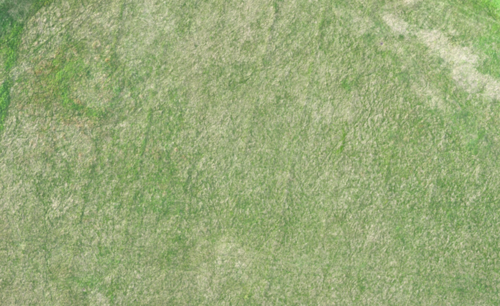
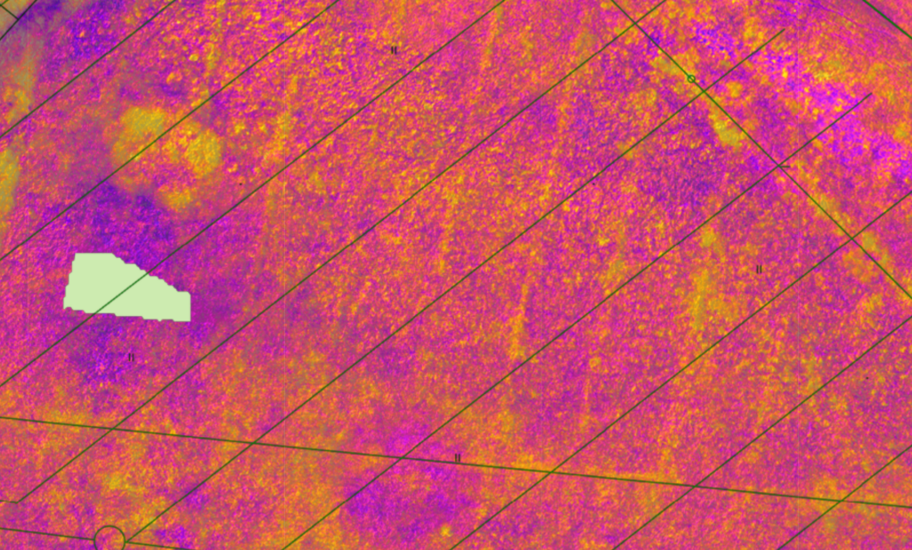
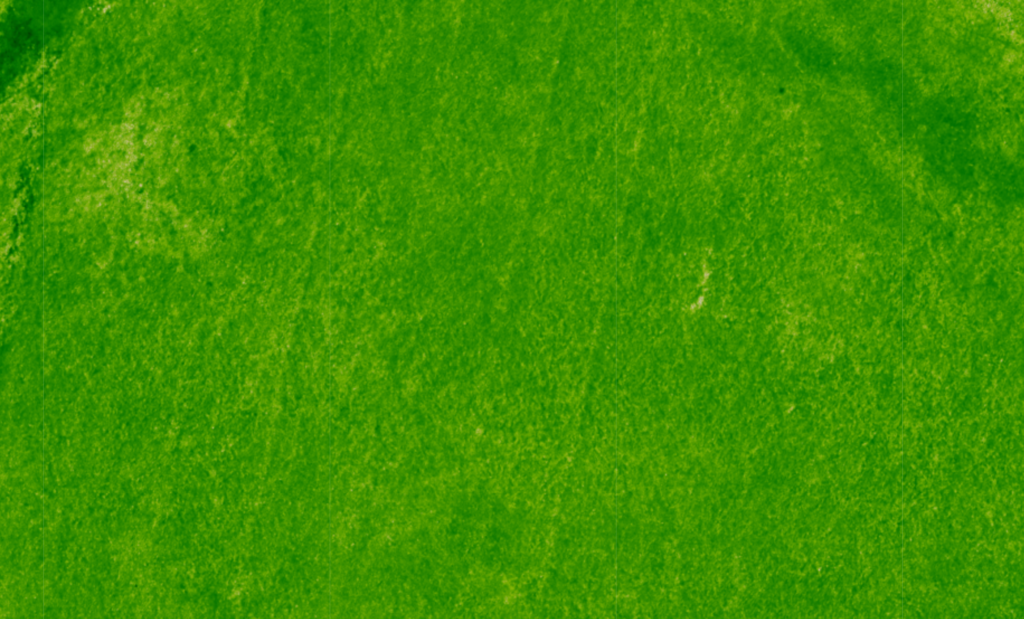
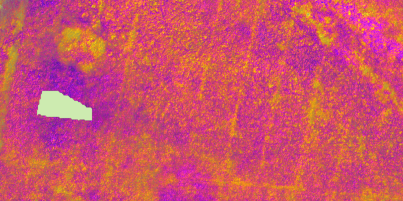
- Scenario: A utility company inspects an old drainage network using drones equipped with thermal cameras. The job is to avoid injecting stabilisation mass into the drainage system before building new residential buildings. All the photos in this article are from an actual client case.
- The Process when using Pointscene:
- The company uploads thermal orthophotos to Pointscene.
- Layers them with old drainage designs as well as regular orthophotos.
- Shares insights with maintenance teams and engineers in remote locations.
This investigation provides additional information and trust for the next steps in the building process.

Conclusion
Thermal cameras on drones offer significant advantages for infrastructure monitoring. They help detect problems early, ensure efficient maintenance, and reduce costs. By integrating thermal orthophotos with platforms like Pointscene, professionals can easily manage, analyse, and share their data.
As technology evolves, these tools will continue to revolutionise how we maintain and improve critical infrastructure. Whether inspecting power lines or analysing building envelopes, thermal imaging is a must-have solution for modern infrastructure management.
Collecting thermal data is just the first step—the real value comes from transforming it into actionable insights. Pointscene simplifies this process, offering streamlined data management, visualisation, and collaboration tools.
Thermal datasets, including orthophotos, can be uploaded quickly and organised by project or location. By layering thermal imagery with other geospatial data—like LiDAR or RGB imagery—teams gain deeper context and a comprehensive understanding of their infrastructure. For example, layering thermal maps with outdated pipeline data can highlight discrepancies, making fault detection faster and more accurate.
You can read more articles like this on our blog: Pointscene.com
Some of our top pics:
Revolutionizing Point Cloud Data Collection: Handheld iPhone Scanners with Enhanced GPS
Construction Site Mapping with Drones: RTK vs. Traditional Methods
Unlocking the Full Potential of Point Clouds: The Importance of Classification of Your Data
