
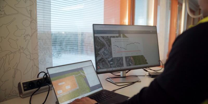
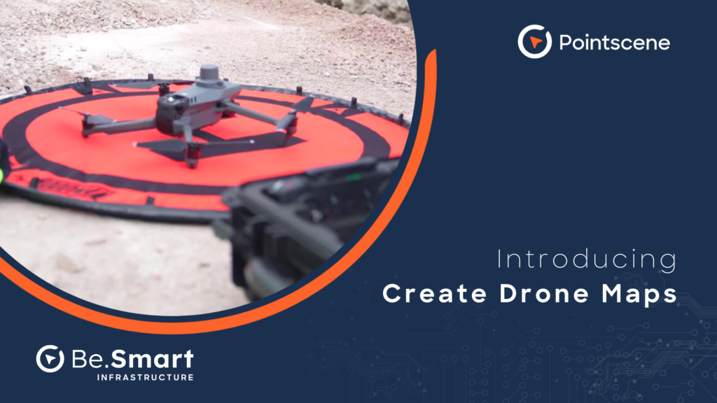
We want to help you work smarter and save time when creating up-to-date orthophotos or surface models from your project. We’ve made drone data processing fast and easy for construction, BIM, and survey professionals. With Drone Maps, you can create high-accuracy orthophotos and surface models online using photogrammetry. It’s made easy. Just upload your RTK drone images, select your coordinate system and height correction, and let us handle the rest. Your orthophotos are processed within hours, not days, and are ready to be used—whether you’re calculating volumes or monitoring earthworks. We want to help you move from data collection to actionable insights in no time.
Milla Kivioja, Project Engineer at Fortum, said, “With Pointscene, we can easily monitor worksite quantities with our drone data.”
Fast, Simple, and Accurate
You don’t need to be a drone expert or have expensive processing software to be able to use our platform for data processing.
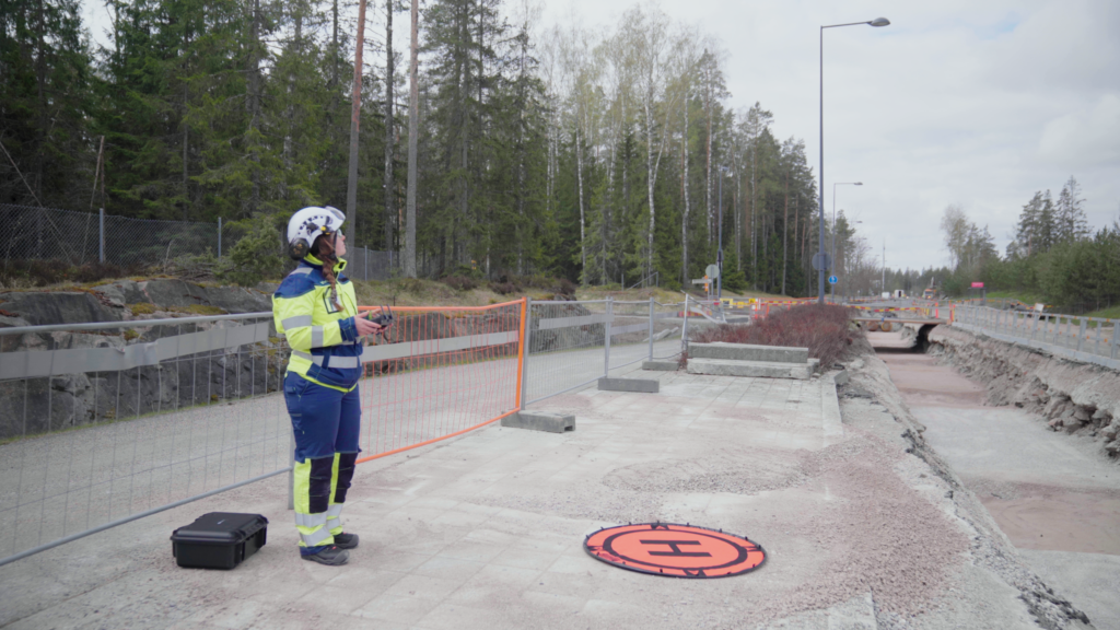
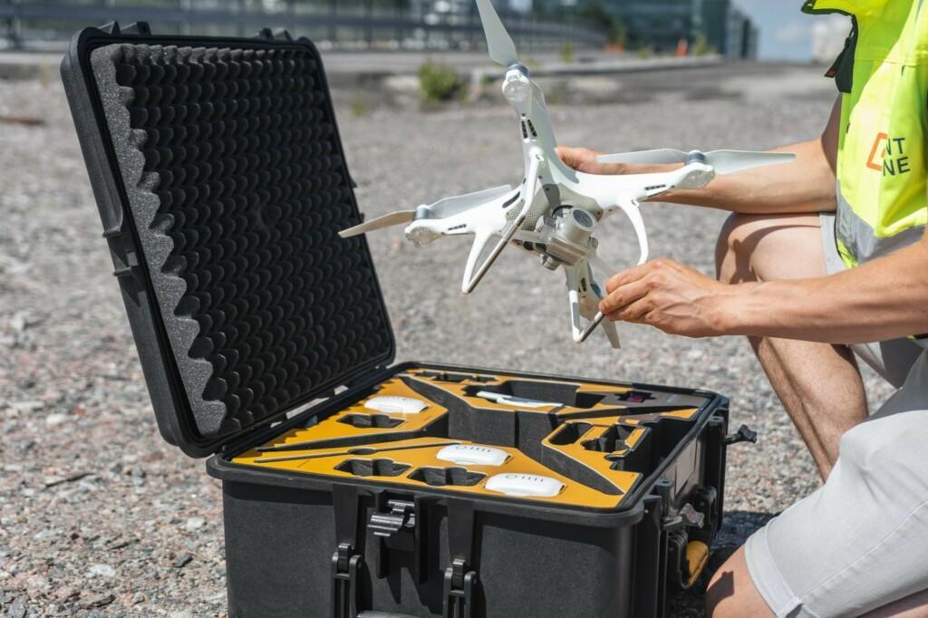
You should use an RTK drone for your data capture to ensure you get the most accurate data. After you have flown the site, simply drag and drop your photos into Pointscene Drone Maps, and we will process your data. The process typically takes around two hours for 500 images, meaning you can focus on other tasks while waiting. After this, you will have orthophotos and surface models accessible and ready to share on Pointscene Web—no more manual data processing.
High-Quality Outputs You Can Rely On
Earlier this year, we performed a comparative analysis of orthophoto accuracy using Pointscene Drone Maps.
When it comes to drone data, accuracy is critical. This is why we continuously have tested our platform’s performance in real-world scenarios. In a detailed comparative analysis of orthophoto accuracy, Pointscene Drone Maps was shown to be as accurate than other solutions. Using high-resolution RTK drone imagery, we achieved a more precise spatial resolution—down to 28mm per pixel—compared to the 30mm provided by similar processing tools.
Additionally, our geometric accuracy was within 0.5 pixels, which is critical for precision in construction and infrastructure projects. This level of accuracy ensures that you’re working with the most reliable data possible, whether you’re calculating volumes or monitoring site progress.
You can read the whole article about the comparative analysis: here.
Automated Ortho Compilation for Seamless Sharing
We have made sharing easy. When processing your data with Drone Maps, all your data is automatically updated to Pointscene for compilation links shared with different stakeholders. So you do not need to worry about sharing up-to-date data manually. If you are using our automated orthophoto compilation link feature, you can generate shareable WMS, WMTS, TMS, or XYZ links for one or multiple layers. These links allow team members and stakeholders to access up-to-date orthophotos in various software, such as QGIS or AutoCAD, ensuring everyone has access to the latest decision-making data without downloading bulky files. It’s an efficient way to keep everyone aligned and ensure that decisions are made based on the latest data. Read more about how this works:
Sharing Orthophotos (WMS, WMTS, TMS, XYZ)
Automatic orthophoto sharing links
Simplifying Complex Data Collection
Pointscene Drone Maps was designed with simplicity in mind. We streamline complex data collection, so you can focus on getting the job done. If you need high-accuracy orthophotos and surface models, with minimal effort.
Drone Maps helps you create orthophotos and surface models easily, saving you time and money. Join the growing number of professionals who trust us to help them work faster and smarter.
You can read more articles like this on our blog: Pointscene.com
Some of our top pics:
Integrating Drone Orthophotos and Surface Models in Autodesk® Civil 3D®: Benefits and Use Cases
Comparative Analysis of Orthophoto Accuracy: Pointscene Drone Maps
Construction Site Mapping with Drones: RTK vs. Traditional Methods
Understanding Web Map Services (WMS): A Guide for Construction Workers and Managers