We’re super excited to announce that we’ve added support for IFC files. Now it is easier than ever to check the planned vs. actual situation and share places where design revisions are needed.
We’re thrilled to start using the open IFC.js library. With IFC.js we will be unlocking more powerful features in the near future.
What we heard:
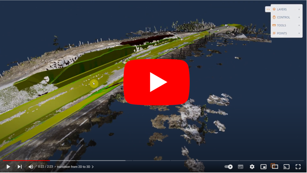
You have told us, that you like our new 3D viewer for point clouds and LandXML layers. But it has been lacking support for IFC models, commonly used if the project already uses LandXML and point clouds.
What we did:
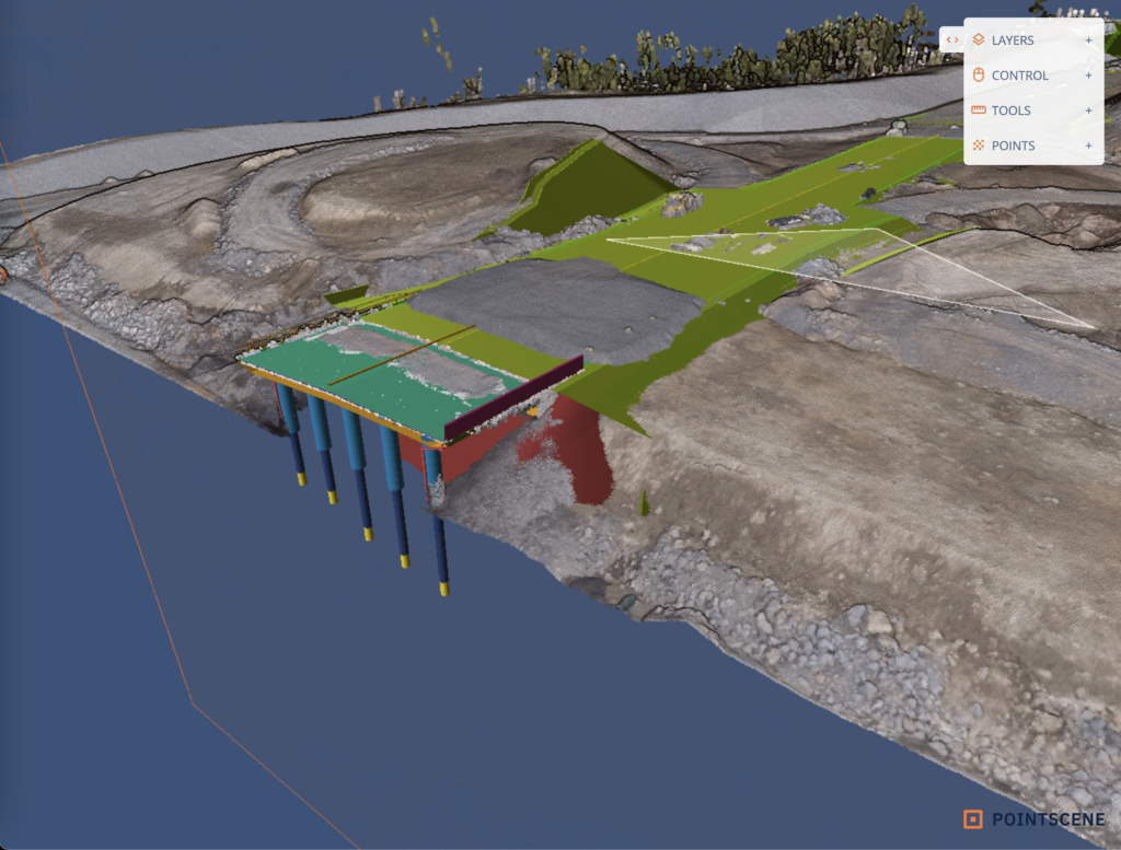
We added IFC support so that you can see the layers in 2D and 3D. You can also measure the distance and area of the models together with a point cloud in the 3D viewer.
How it works:
All new features are considered to be in BETA, so we are eager to hear any feedback you can give!
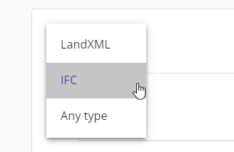
You can use IFCs by uploading your dataset via the “Upload files (BETA)” page. We have opened the upload for any file type, but only LandXML and IFC files will be automatically processed to the map viewer. Other files will be sent to our Pointscene support to handle manually. IFC version must be 2×3 and the maximum size is 50MB.
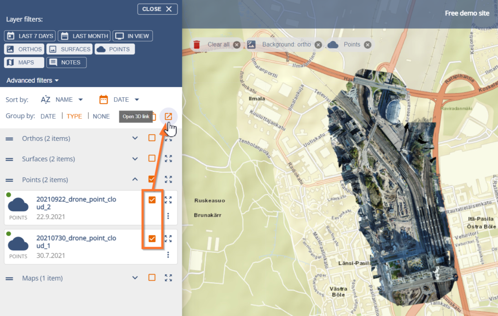
Once the layer is processed you can view the layer in 2D and 3D, by turning the layer (point cloud, LandXML and/or IFC) on and clicking the “Open 3D link”.
Our 3D viewer is new but is very similar to our previous viewer. We have added new tools e.g. plane clipper and measurement exports. It works directly with the link created in Pointscene. Anyone with the link can view the data. The link will expire in 7 days.
LandXML and IFC layers can be viewed and measured the same way in 3D: