REACT AND COMMUNICATE
Stay on track of your worksite with visual maps
With Pointscene Online platform you will always have the current situation at your fingertips.
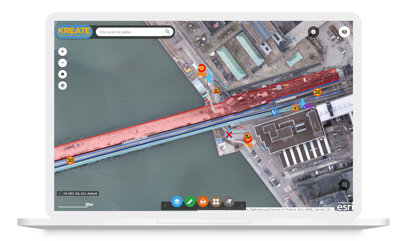
Visualize worksite online with any device
The Pointscene online platform is always accessible by any device. Stay on track of site progress with drone maps and laser scanning data whether it’s on desktop, tablet or mobile, without having to visit the field as often.
Keep track of worksite progress
Make informed decisions based on visual maps
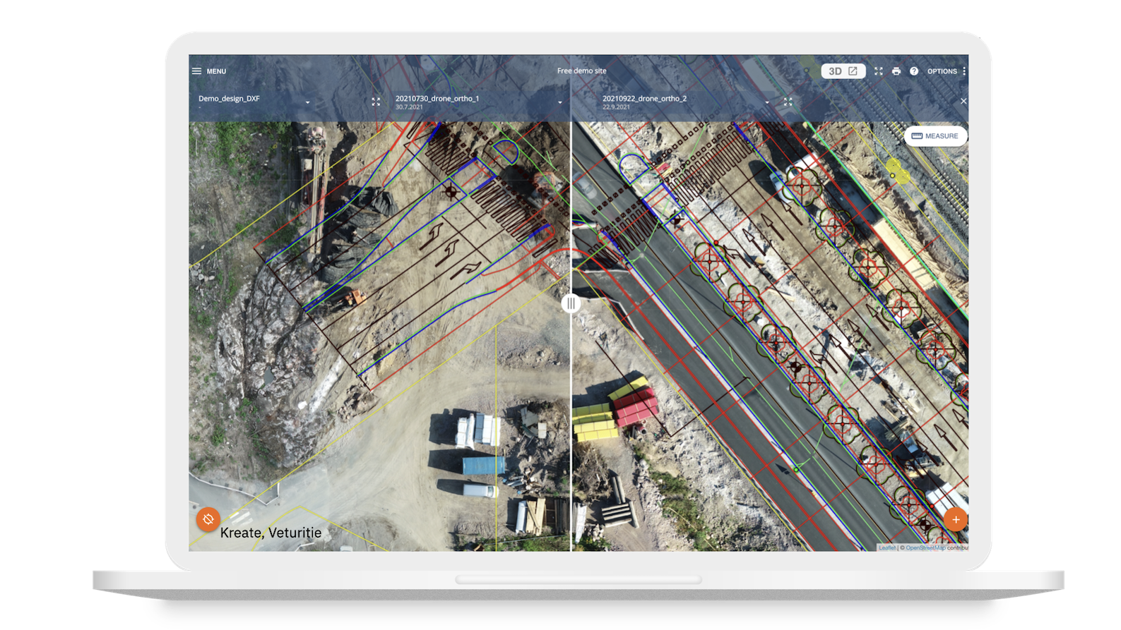
Useful tools for on-the-go insight
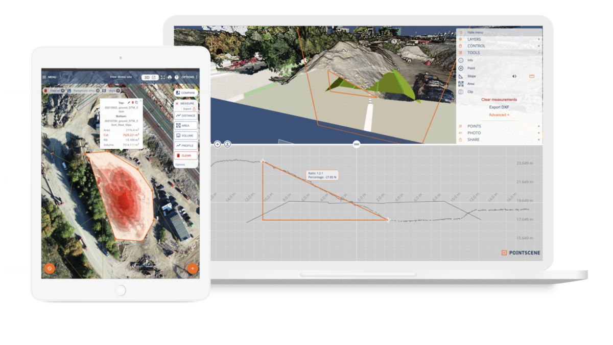
Point clouds, orthophotos & models can be measured in 2D and 3D. Create stock volume reports, measure areas, distances, and coordinates, make notes, and add photos on the go anywhere you are.
Volume calculations
2D / 3D Measurements
Field notes
Geotagged photos
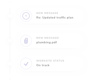
Keep your team updated
Invite colleagues and stakeholders for direct access to up-to-date orthophotos and volume calculations. React on possible issues before they escalate to costly rework.
Share access to, comment and collaborate on Pointscene platform
Keep a paper trail