Key Investment Factors
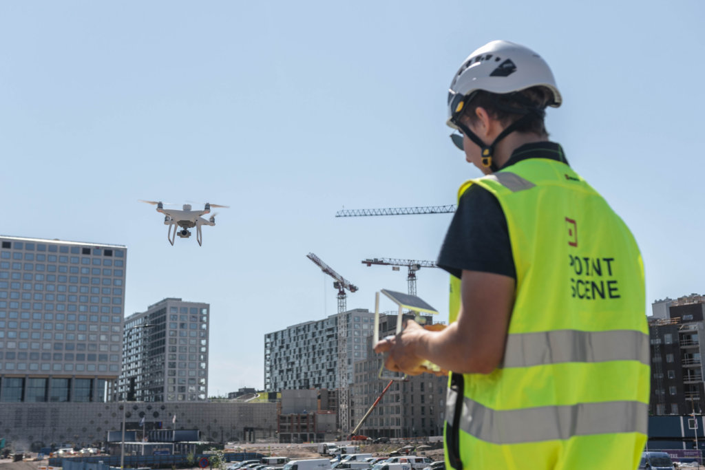
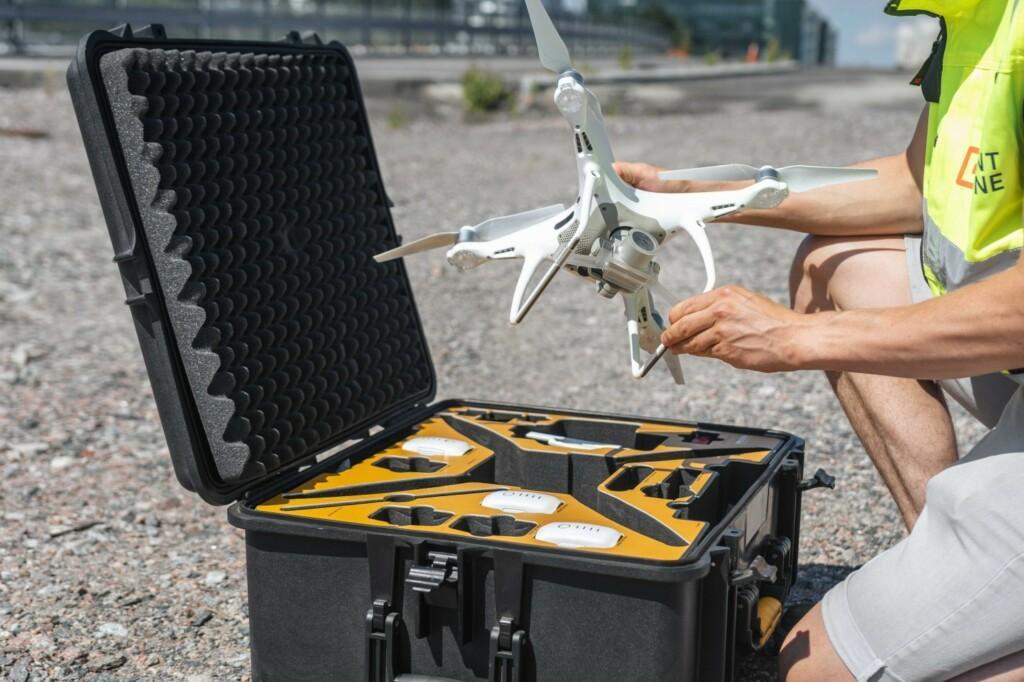
Investing in drones for infrastructure projects is a strategic move involving several components that can significantly enhance project outcomes. The initial purchase cost of high-quality drones, particularly those equipped with RTK (Real-Time Kinematic) for enhanced accuracy, is well worth the consideration. While the upfront investment may seem substantial, the precision and efficiency gained from these advanced features often translate to significant long-term savings.
Site Manager Olli Sihvola notes, “We definitely spend less time on field visits and make more confident decisions daily. Each of us saves at least a few hours every week,” highlighting the immediate benefits of drone investments through reduced time spent on-site.
Training is another crucial aspect. Your team must be well-versed in operating drones and understanding flight dynamics, safety, and data processing. Ensuring they are comfortable with these tasks not only maximises the utility of the drones but also ensures compliance with regulations, avoiding potential fines and project delays.
Obtaining regulatory permits is another step that must be considered. Different regions have specific rules for drone use, and securing these permits ensures your operations remain within legal boundaries, preventing costly interruptions.
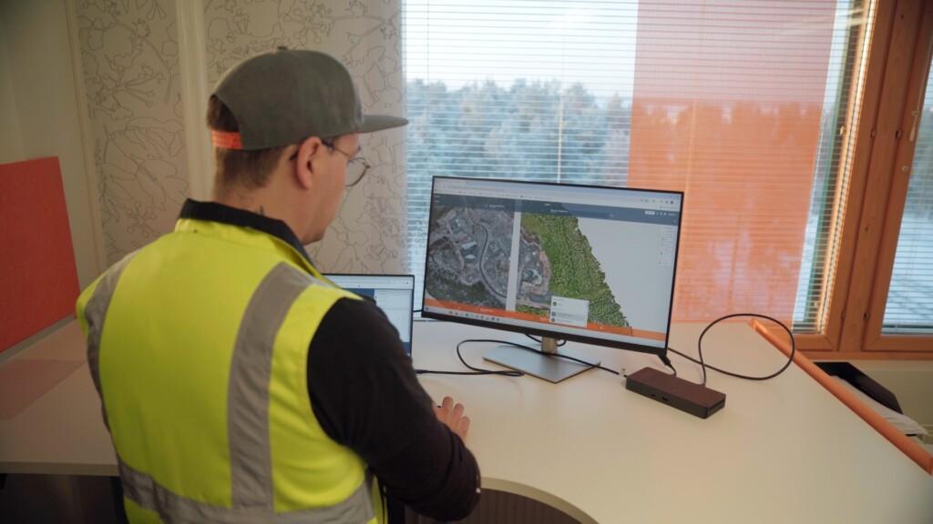
The time invested in collecting and processing data is substantial. Ensuring that the right tools and processes are in use is, therefore, critical for optimising the time investment. For instance, with Pointscene Drone Maps, data collected with drones (particularly RTK Drones) is highly recommended to get the most reliable results; these can then be processed, analysed, and shared seamlessly, making it easy to turn raw data into actionable insights.
Comparative Analysis of Orthophoto Accuracy

Usage Optimization
It’s crucial to use drones effectively when looking at maximising ROI from a usage optimisation perspective. Frequent drone use justifies the investment, but it is essential to avoid unnecessary data collection, which can lead to data overload and longer processing times. Effective data management practices must be in place to handle large volumes of data without bogging down the processing systems.
Survey Manager Tomi Mäkelä emphasises that “updating our ortho compilation base map is now 100x faster than before” thanks to streamlined data management practices. This efficiency in data handling saves time and enhances decision-making by ensuring access to the most current information.
The type of drone used can significantly affect the amount of post-processing required. For example, RTK-equipped drones provide highly accurate data with minimal post-processing, whereas non-RTK drones might require more extensive post-processing efforts. This choice impacts both the quality of the data and the time spent processing it.
The frequency of data collection should align with project demands. Over-collecting can lead to overwhelming data while under-collecting might leave you without crucial updates. Determine the optimal frequency—daily, weekly, or monthly—based on the project’s needs and the staff’s capacity.
Selecting the right software for data processing and sharing is critical. Tools like Pointscene offer functionalities that streamline the workflow, from data import to analysis and sharing. Such software should enable easy access to data for all stakeholders, enhancing collaboration and decision-making.

Decision-Making Considerations
Several factors need to be considered when selecting a drone. The size of the construction site will primarily affect the choice. Smaller sites (1 km) may require less sophisticated drones, whereas larger areas (10 km or 100 km) benefit from drones with longer flight times and higher data capacities. For instance, on a 100 km² site, using an advanced drone capable of extended flights can drastically reduce the number of flights needed, speeding up the data collection process.
Another crucial factor is the frequency of data collection. Drones with quick deployment and fast data processing capabilities are necessary for projects needing daily updates. The weekly or monthly update requirements may be less stringent, allowing for more flexibility in drone choice.
The accuracy requirements of your project are also a crucial factor. Projects requiring 1-2 cm precision will benefit from RTK-equipped drones, which deliver this level of accuracy with minimal need for post-processing. For projects with lower accuracy demands, opting for drones with 5-10 cm accuracy might be more cost-effective and faster to deploy.
Staff allocation is another critical factor. It’s essential to ensure that the personnel responsible for drone operations and data processing have the capacity to manage these tasks while maintaining their existing workload. Proper staffing keeps the project on track and ensures that drone operations are smooth and efficient.

Optimizing for ROI
Integrate drone data seamlessly into your project workflows to achieve the highest return on investment. Up-to-date information is crucial for making informed decisions, particularly when unexpected challenges arise.
Anders Hoel Nielsen says, “We can deliver aerial information for our construction team several days faster than before and with super high resolution,” illustrating effective drone use’s time and quality benefits.
Documenting progress with drone data allows for easy reference and verification of completed work, helping to resolve issues quickly and maintain a clear project record. By keeping data well-organised and accessible, you ensure that it remains a valuable resource throughout the project lifecycle.
Sharing situational awareness across your team enhances collaboration and decision-making. When all stakeholders have access to the latest data, it improves visibility and coordination, reducing the risk of costly errors or delays.
Integrating drone data with your design models helps identify potential issues early, ensuring the project stays on track. Using drone data to calculate volumes and distances precisely also improves the accuracy of your estimates and resource allocations, helping avoid waste and optimise project efficiency.
Finally, using drone data for as-built documentation ensures you have a precise and up-to-date record of the construction process. This documentation is crucial for future reference, compliance, and quality assurance, providing lasting value beyond the project’s completion.
By carefully managing these elements, infrastructure projects can see significant improvements in efficiency and accuracy, leading to a higher return on investment from drone technology.
You can read more articles like this on our blog: Pointscene.com
Some of our top pics:
Integrating Drone Orthophotos and Surface Models in Autodesk® Civil 3D®: Benefits and Use Cases
Comparative Analysis of Orthophoto Accuracy: Pointscene Drone Maps
Construction Site Mapping with Drones: RTK vs. Traditional Methods
Understanding Web Map Services (WMS): A Guide for Construction Workers and Managers
