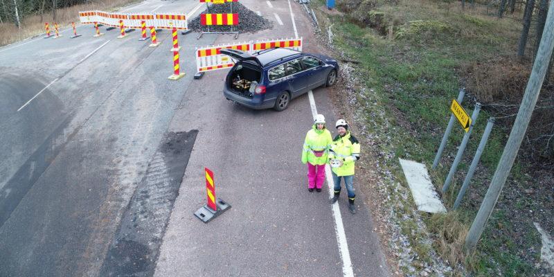
Working in infra construction means handling changing circumstances and surprises. You may have the perfect plans, but if the piping or the rock are not where they should be, you must adapt to the new situation and keep the ball rolling!
The on-site surveying team is usually the first to know and to act when changes occur, but how do they do it? Tero Maijala, with 15+ years of experience in infra construction surveying, knows a thing or two about handling surprises.
Tero Maijala, could you tell us a little bit about yourself?
I have a Bachelor’s degree in Land Surveying and I have worked at Destia Ltd. from 2004 until 2019 as a Land Surveying foreman and manager. Today I’m working for Infrakit group Ltd. as Senior BIM Specialist.
I have been responsible for construction site surveying for 15+ years, coordinating land surveying subcontractors, doing quality management, and producing Inframodels. I have worked on projects such as Olkiluoto 3 Nuclear power plant, E18 Koskenkylä-Loviisa-Kotka highway, Kt51 new arrangements for Länsimetro, Finavia VLK Alliance and E18 Turku ring road.
I have been working with 3D machine control since 2006 for 10+ years, developing model-based production, common processes and requirements. For example, I have taken part in updating BuildingSMART Finland YIV 2019, 3D-Win software development, Inframodel3 common classification development and helped to develop Infrakit
What are the most typical surprises or changes that happen in infra construction?
Surprises are very common when we don’t have up-to-date information about the initial data, plans or current situation.
In one case we needed to build new sewer foundations and then a road foundation on top. We got the plans, started working and dug the new sewers and did the cast. So we were ready for the next stage. Once we got the next stage plans, the sewers in the plans had moved by 7 meters and everything else was planned according to them. There had been a gap in communicating the current situation, and no one in design knew that the sewers had already been built. So they did two months of planning work with the wrong information! This information should have been easily available to the designers. In the end, new plans needed to be made, so that the already built sewers would work with the plans.
What are the most typical requests you got as a Head Surveyor on a construction site?
“Where are the plans? We are already here and want to start already!”
“There are no survey markings for asphalt work, we need the surveyor here right now!”
“Are we on someone else’s property?”
“Where is the survey data?”
“How accurate is this data?”
How do you tackle these upcoming changes?
As a surveyor, you must have a clear picture of the current situation for the whole construction site. In my experience, I have learnt that surprises are inevitable and that the more documented and up-to-date data I have about the construction site, the faster I can react and make decisions.
Using drones for reality capture has changed the way I work in construction. Orthophotos and point clouds, generated from drone images, are accurate enough for most situations and can be reinforced with survey data when necessary. Already the orthophoto in itself brings so much more insight, so that it’s worth preparing for surprises by regularly documenting the site – for example weekly. Additional fights can then be done as needed. Every dataset has come in handy at some point, as all workers have the data as a base map in Infrakit.
What would be your typical day as Head Surveyor?
In the morning I would come to the work site office, have some coffee and catch up with my co-workers. I’d also have some quality reports to write about the as-builds and some meetings with the Site Manager and Engineers. In the meetings, we would open Infrakit and add the most recent orthoimages, as-built points, plans and machines on the map, to get a clear overview of the current situation. For quality reports, I use 3D-win for most of my specialty work, and use orthoimage web-services and point clouds directly from Pointscene.
At some point I would get a phone call about some new situation or surprise: “We have a situation going on right now!” Most of the time, I need to react immediately and have a plan of action, so that the workers can continue their work as soon as possible. In some situations, it’s best to start by firing up the drone and getting a fresh picture of the situation and begin the work from there.
By the end of the day, I have gotten several more urgent phone calls, done some reporting, quality assessment, documentation and maintained the current situational awareness for all workers.
How do you see the infra construction industry handling surprises in the future?
I have been working with model-based construction for over 10 years now. My biggest dream is to have all the models and reality capture data in the same interface, where ever needed. OpenBIM has developed dramatically over the last few years and we are now on the verge of finally having all data “talking” to each other. I really believe that open source solutions and integrations between software are the future trends.

